Our cemetery mapping services provide accurate and reliable grave mapping solutions across the United States. Using modern GPS cemetery mapping tools, we help locate, map, and preserve burial sites nationwide in historic cemeteries, municipal graveyards, and private burial grounds.
Our team uses high-precision Real-Time Kinematic (RTK) GPS for cemetery mapping projects when applicable, allowing us to achieve centimeter-level accuracy in locating and recording grave sites and burial plots. This advanced method is ideal for projects requiring detailed cemetery maps and enhances cemetery management and historical preservation efforts. For projects where RTK is not feasible, we will employ alternative methods to create your map. Contact our team today to see how we can create your map.
We update or redraw existing cemetery maps to correct inaccuracies and reflect current burial layouts.
We create complete, modern maps of cemeteries to document burial plots, boundaries, and infrastructure.
We produce GIS-based maps that allow for digital storage, data layering, and long-term management of cemetery records.
We design detailed, cartography-style maps for easy viewing and professional presentation of cemetery layouts.
Clients receive both digital PDF maps and printed versions, customized to any scale or size for onsite reference or archival use.
C&M Subsurface uses Real-Time Kinematic (RTK) GPS and Robotic Total Stations to capture accurate, detailed mapping data. These advanced tools ensure every point is measured with exceptional precision, delivering reliable results for even the most complex sites.
We establish grid systems across the site to standardize data collection, improve spatial accuracy, and simplify future updates.
All maps are produced in a professional cartography style, creating clear, visually organized layouts for records, signage, or display.
Maintain accurate records and updated maps for long-term cemetery management.
Improve daily operations with clear, organized maps for plot tracking and planning.
Access reliable maps to confirm plot locations and assist families with burial arrangements.
Document and preserve private cemetery layouts for future generations.
Support preservation efforts with detailed maps of historic or unmarked burial sites.
Contact C&M Subsurface to discuss your next project.
At C&M Subsurface, our mapping process combines advanced survey technology with detailed cartography to create accurate, professional cemetery maps. Every step is focused on precision, organization, and long-term usability for recordkeeping and preservation.
Share your project details, and we’ll provide a clear proposal outlining the scope, cost, and timeline.
Once approved, we coordinate site access and schedule fieldwork at a convenient time.
Our team uses robotic total stations and RTK GPS equipment to collect precise location data across the cemetery.
We establish a mapping grid and document plot boundaries, markers, and key features for complete spatial accuracy.
Collected data is processed into detailed, cartography-style maps designed for clarity and long-term recordkeeping.
Clients receive both digital PDF and printed maps, scaled to their specifications and ready for archival or daily use.
C&M Subsurface stands out for combining modern survey technology with true cartographic detail. We use robotic total stations, RTK GPS, and GIS software to produce maps that are both technically precise and easy to interpret. Every map is customized to the site, giving clients reliable, organized records built for long-term use and preservation.
Most maps are delivered within two to three weeks after field work, depending on project size and deliverable type.
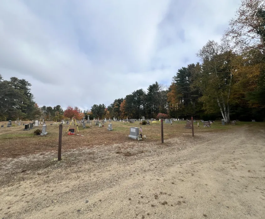
Yes. Our mapping process is completely non-invasive and performed using above-ground survey equipment only.
No. The map is not a certified land survey but provides highly accurate location data suitable for documentation and recordkeeping.
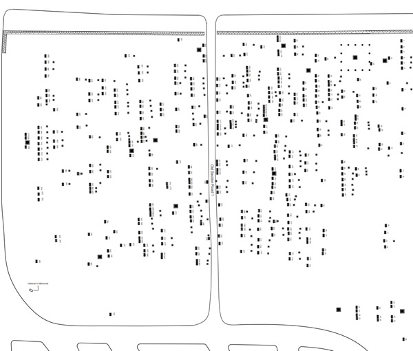
We use robotic total stations, RTK GPS, and GIS technology to produce detailed, cartography-style maps that are both precise and visually clear.
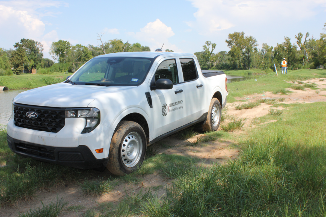
Most field work is completed within one to three days, depending on the cemetery’s size and accessibility.
We recommend clearing excessive vegetation or debris to ensure clear line-of-sight for the survey equipment and improve data accuracy.