
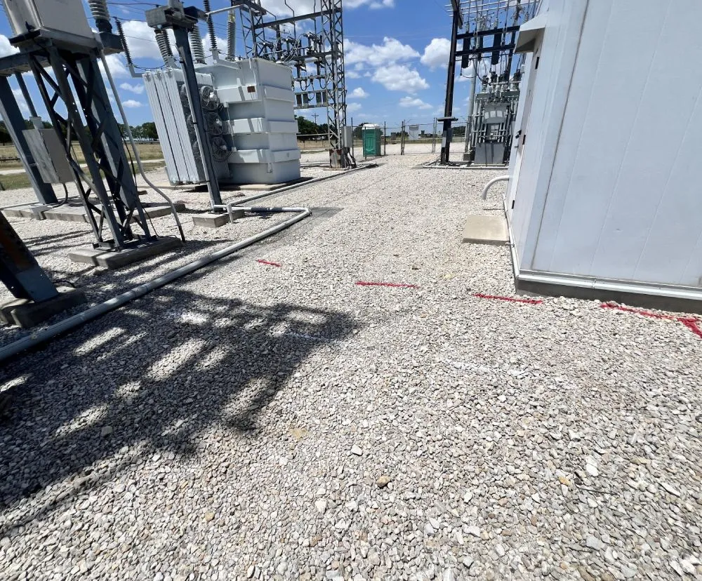

Before any excavation, trenching, or site work begins, you need to know what’s underground. C&M Subsurface provides utility locating services in Texas, specializing in private utility locating using ground penetrating radar (GPR) and electromagnetic (EM) equipment to give contractors, engineers, and project managers a clear picture of what’s below the surface. Accurate utility locating prevents costly damage, keeps crews safe, and ensures your project moves forward without unexpected delays.
We locate and mark privately owned underground utilities to help clients understand what’s below before excavation or site work begins.
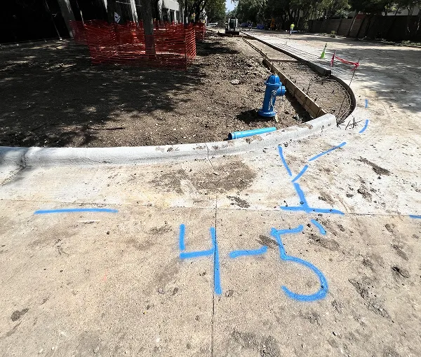
We use ground-penetrating radar to identify and map buried utilities, structures, and other subsurface features with clear visual data.
We detect and trace metallic utilities and conductors using electromagnetic methods to confirm locations identified through GPR.
We locate and trace underground pipelines to verify their position and depth, ensuring safe and informed planning for future work.
We use geophysical equipment to identify potential subsurface voids or anomalies that could impact ground stability or project planning.
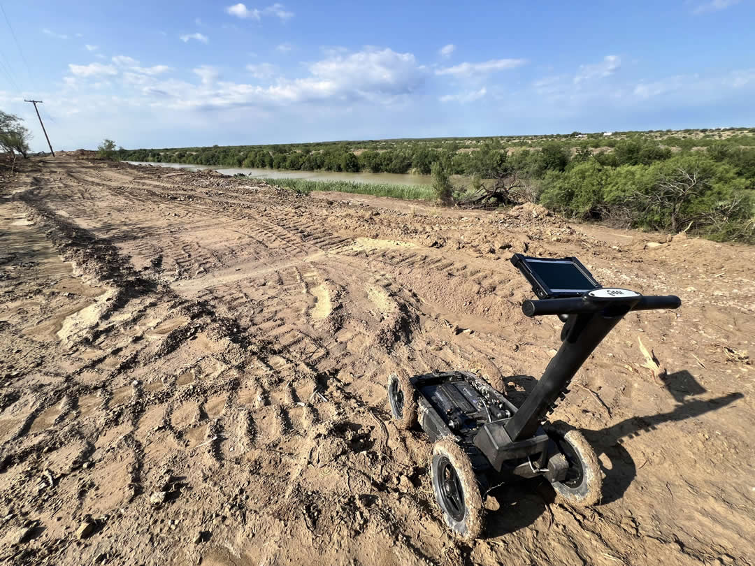

We use ground-penetrating radar (GPR) to identify and map subsurface features, including utilities, voids, and buried structures, without disturbing the ground.

We use electromagnetic (EM) equipment to detect and trace metallic utilities and conductors, confirming their path, depth, and location.

No single locating method is 100% effective. By using both GPR and EM together, we cross-verify results and provide more complete, reliable subsurface data.
Contact C&M Subsurface to discuss your next project.

At C&M Subsurface, we make the utility locating process straightforward and transparent. From first contact to final deliverables, every step is focused on accuracy, efficiency, and clear communication.
Share your project details with us, and we’ll provide a clear proposal outlining costs and scope of work.
Once the proposal is approved, we’ll confirm scheduling and coordinate access or site requirements with your team.
Our technicians perform on-site locating using GPR and EM equipment to identify and mark underground utilities.
We cross-check results between GPR and EM data to confirm accuracy and ensure no utilities are missed.
If a report is requested, we compile clear documentation, including marked findings, images, and mapped results.
We deliver all agreed materials and invoice promptly, keeping communication open for any follow-up needs.
C&M Subsurface is built on experience, reliability, and fast response. We combine advanced methods with practical field knowledge to deliver results clients can trust. As a Texas-based, Aggie-owned company, we take pride in clear communication, quick turnaround, and doing the job right the first time.

Depth depends on site conditions and soil type. Typically, GPR can detect utilities up to 8–10 feet deep, while EM locating is effective for metallic lines within similar ranges. Depth accuracy varies with material, soil moisture, and surface composition.
Most reports are delivered within 2–3 business days after field work is completed. Larger or more complex sites may require additional time for data processing and map generation.
Pricing depends on project size, location, and scope. We provide clear, upfront proposals based on your specific needs before any work begins—no hidden costs or surprises.
Yes. Certain conditions, such as highly conductive soils, deep utilities, or non-metallic materials, can limit detection. We use both GPR and EM methods to cross-verify findings and reduce the chance of missed utilities.
Reports typically include field markings, utility locations, GPR images (if applicable), and mapped results. The level of detail is based on the client’s requested deliverables.
Utility locating is not 100% accurate, and while we take all reasonable steps to minimize the risk of error, we are not liable for any lines that are missed. Our service is performed to industry standards, and no guarantee can be made that all lines will be identified.
Yes. Upon request, we can produce a digital map or drawing showing located utilities and marked features. The map format and level of detail depend on project requirements.