We use Ground Penetrating Radar (GPR) to locate unmarked graves, providing a non-invasive and reliable way to identify hidden burial sites.
Using Ground Penetrating Radar (GPR) to locate unmarked graves provides a noninvasive, accurate method for detecting hidden burial sites. This advanced cemetery GPR technology is ideal for cemetery mapping, archaeological research, and historical preservation. By employing subsurface scanning solutions, we ensure thorough documentation and preservation of burial sites, offering a respectful approach to understanding and uncovering grave sites.
We use ground-penetrating radar (GPR) to locate unmarked or forgotten graves, providing a non-invasive and respectful way to identify burial sites and subsurface anomalies.
We document all GPR findings in a clear, organized report that includes data interpretations, marked locations, and any relevant notes for mapping or cemetery management.
GPR results highlight areas with a high probability of burial, identifying potential grave sites for further study or confirmation.
High-potential grave locations can be marked directly on site for reference during further investigation or preservation work.
GPR scan images can be provided for review, allowing clients to analyze potential burial areas before or after field visits.
All GPR work is completed within client-defined boundaries to ensure scanning is focused, efficient, and properly documented.
Our process protects the integrity of the site, using non-invasive methods to locate graves without disturbing the ground.
Locate and mark unrecorded graves to support routine maintenance and cemetery management.
Verify that a plot is clear of previous burials before proceeding with interment.
Confirm open plots and avoid burial conflicts through subsurface verification.
Identify possible burial sites before excavation or infrastructure development.
Detect potential burial sites and cultural features for research and preservation.
Assist in forensic searches by locating possible burial sites or remains.
Contact C&M Subsurface to discuss your next project.
At C&M Subsurface, our cemetery GPR process is designed to deliver accurate results while maintaining the integrity of every site we work on. Each step is handled with care, professionalism, and respect to ensure reliable data collection without disturbing the ground.
Share your project details with us, and we’ll provide a clear proposal outlining the scope, costs, and schedule.
Once approved, we’ll coordinate with you to schedule fieldwork and confirm site access or requirements.
Our technicians use GPR equipment to locate unmarked graves and identify areas of soil disturbance.
Data is analyzed to determine areas with a high likelihood of burial, which are classified as high-potential graves.
High-potential areas can be marked directly on site and, upon request, documented with detailed digital reports or scan images.
We review findings with the client, answer questions, and provide any requested deliverables for mapping or preservation work.
C&M Subsurface approaches every cemetery project with accuracy, respect, and care. We use advanced GPR methods to locate unmarked graves without disturbance, providing clear results that help families, caretakers, and organizations make informed decisions while preserving the integrity of each site.
Depth varies by soil conditions, but most cemetery GPR scans can detect burial features up to 6–8 feet deep.
No. GPR identifies soil disturbances and anomalies consistent with burials, but results are classified as high-probability findings, not absolute confirmation.
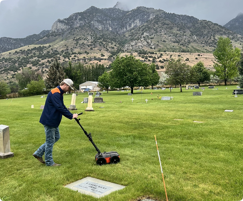
No. Our GPR process is completely non-invasive and performed on the surface without any digging or disruption.
Clients can choose from on-site markings, digital reports, or both. Reports include data interpretations, probability maps, and scan images upon request.
Our technicians analyze the GPR data to detect patterns typical of burials, then map areas that show high-probability readings.
Yes. Scanning is completed within the client’s specified boundaries to ensure focused and efficient coverage.
Yes. We can provide digital scan images or maps showing high-probability areas for documentation or preservation purposes.
Absolutely. Our work is fully non-invasive and conducted with care and professionalism to preserve the dignity and integrity of the site.
Yes, depending on soil composition and preservation, GPR can often identify graves that are decades or even centuries old.